In the current environment, many clients are grappling with how to design collaboratively with peers and effectively communicate project progress to the public. As we adjust to our increasingly virtual world, Pennoni Photo360 offers an exciting delivery method for stakeholders, designers, and the public to experience projects in a virtual space.
Traditionally, a site visit is a critical element in the design process for our projects. Recent technological advances allows field staff to digitize a project site, using 3D laser scanning or photography, and share it with design staff, clients, and the public through the safety and convenience of a web browser on a computer, tablet, or phone. Pennoni recently partnered with Francis Cauffman Architects on the Four Gateway Center in Newark, NJ to provide a new fit-out for the interior spaces of an existing building. Pennoni was able to perform a 3D laser scan survey of the interior spaces in the project area and create a panoramic tour with 3D point cloud manipulation for the design team using Pennoni Photo360. This allowed the designers to virtually tour, measure, and visualize the proposed project area quickly and accurately from multiple vantage points.
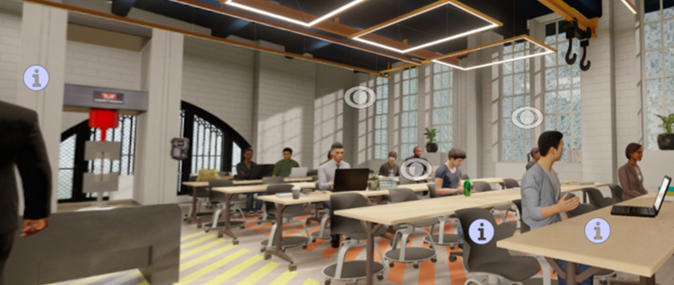
Users can stream 3D point clouds, take measurements, verify conditions, and compare existing and proposed conditions. The interface for exploring the digital twin is simple, intuitive, and no CAD experience is necessary. The ability to virtually visit a project site and tour the site in a 360-degree environment, complete with accurate measurement features, provides a solution within the varying degrees of stay-at-home and social distancing orders. Working with Perkins Eastman of New York City, Pennoni performed a 3D laser scan of an existing classroom at Brooklyn Tech High School to capture data and create a digital twin. Our 3D artists brought the architectural retrofits to life using Pennoni Photo360. Click here to view the project. This allowed viewers to experience the various new classroom configurations, review product cut sheets for new equipment and fixtures, and compare before-and-after 360° panoramic renderings of the space with customizable presentation features.
Our team collects data from multiple sources during projects including renderings, scans, GIS mapping components, and surveys. Pennoni Photo360 provides one location for all this data in a scalable format without requiring additional software. When presenting the data to designers, measurements and geometric features can be included. To present proposed projects to the public, the data is scaled to focus on the aesthetics and visuals so that the context of the project is the focal point.
To learn how Pennoni Photo360 can be used to enhance your next project, please contact:
Joseph Spadea, PE, Senior Engineer/Project Manager at jspadea@pennoni.com
Cory Hessel, Survey Technician at chessel@pennoni.com
Jason Haynes, PLS, Associate Surveyor at jhaynes@pennoni.com