Pennoni’s Employee Spotlight series gives you a behind-the-scenes look at the talented individuals who make our company thrive. Each month, we highlight a team member’s journey, passion for engineering and innovation, and unique impact at Pennoni.
Pennoni’s Employee Spotlight series gives you a behind-the-scenes look at the talented individuals who make our company thrive. Each month, we highlight a team member’s journey, passion for engineering and innovation, and unique impact at Pennoni.
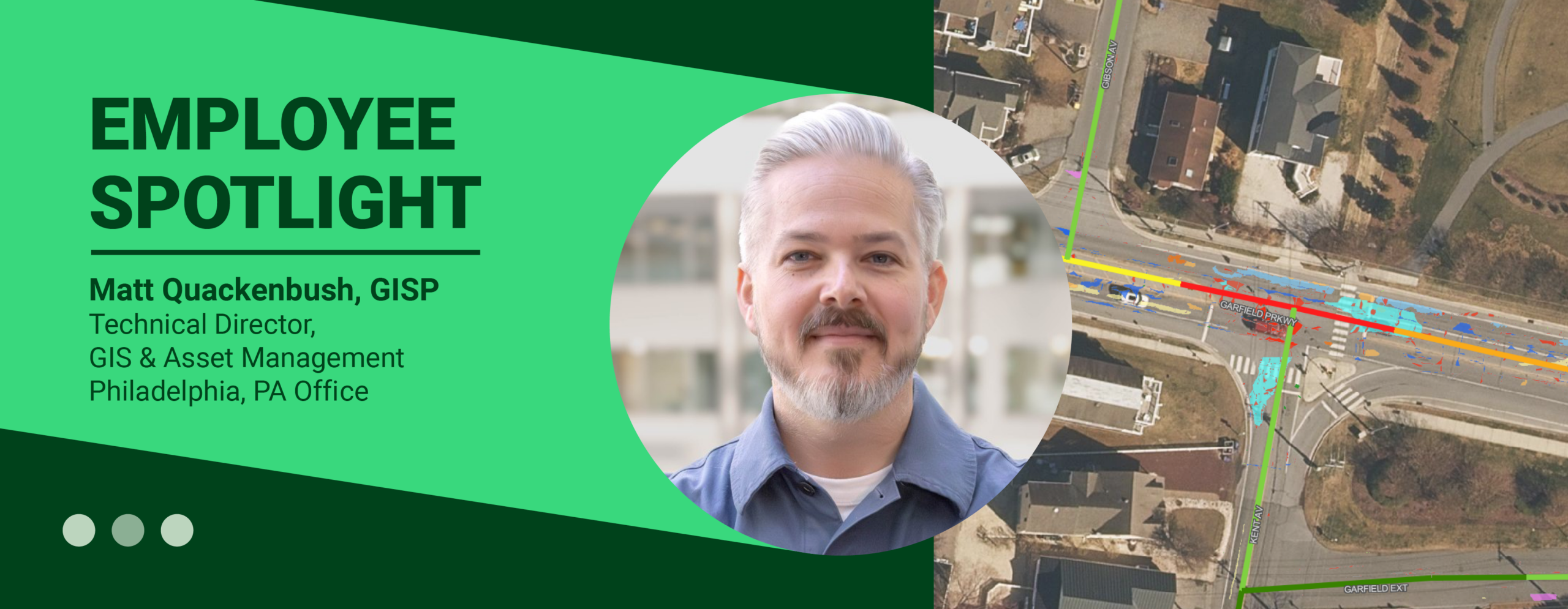
This month we are featuring Matt Quackenbush, who serves as the GIS technical manager in Pennoni’s GIS & asset management group. He oversees GIS data management and application design for the firm. His responsibilities include working across multiple disciplines and departments to assist our efforts to enhance our geospatial practice and to manage a wide range of GIS projects. Matt also assists in providing recommendations for overall asset management for the firm.
Matt has a professional science master’s degree in geographic information systems from Temple University and has been working at Pennoni for 9 years. He was awarded a Special Achievement in GIS Award from Esri in 2024 for his work on DelDOT’s Equity Focus Areas and currently leads the GIS professional organization GeoPhilly.
You serve as a GIS Technical Manager in Pennoni’s GIS & Asset Management Group, where you lead data management and application design efforts across the firm. For those unfamiliar with this work, what does your role involve and what do you find most rewarding about working in geospatial technology?
Our GIS & Asset Management group is a creative and talented team focused on using data, maps and web-based tools to solve problems and support better decision-making. We work across different departments, disciplines and client types, so a big part of my role is understanding a project’s needs and figuring out how GIS can help, whether that means improving how data is collected and managed, developing an application or creating a completely new workflow.
What I enjoy most is the creativity involved. There is rarely a one-size-fits-all solution. Every project has different goals, data, budgets, timelines and challenges, so we get to design solutions around those specific needs. I also really enjoy collaborating with people across Pennoni and learning about the wide range of work we do. On any given project, GIS might support sea level rise modeling, utility inspections, solar site suitability, transportation design, asset management or even something surprising like cemetery management. That variety keeps the work interesting.
Your work spans a wide range of geospatial tools, programming languages, and platforms, from ArcGIS and QGIS to web-based mapping and data visualization. How have advancements in GIS technology changed the way organizations approach data and decision-making?
The geospatial industry is advancing incredibly quickly, and GIS is becoming much more than just 2D maps. We are increasingly working with 3D environments, vertical assets, real-time information, high-resolution imagery and much larger and more complex datasets. That gives organizations new ways to understand their infrastructure and make information more accessible to the people who need it.
AI is also creating a lot of opportunities for efficiency and new types of analysis. GIS has incorporated technologies like machine learning, automated feature recognition and large-scale data analysis for years, but those capabilities continue to become more powerful and accessible. I’m especially excited about GIS evolving from primarily 2D maps into more immersive 3D environments and connecting with other technologies we use at Pennoni, including Photo360, UAVs, reality capture and other digital tools. The goal is ultimately to give people a clearer picture of their assets and information so they can make better decisions.
You were recognized with Esri’s Special Achievement in GIS Award for your work on DelDOT’s Equity Focus Areas. Can you share more about that project and how GIS can be used to support more equitable and data-driven infrastructure decisions?
Pennoni has supported DelDOT on a variety of GIS initiatives for many years, and the Equity Focus Areas project gave us an opportunity to apply GIS to an especially meaningful challenge: identifying areas where infrastructure investment could have the greatest impact.
We developed a GIS-based model that combined socioeconomic information from the U.S. Census Bureau’s American Community Survey, including factors such as median household income, demographics and primary language, along with infrastructure data to help identify priority areas across the state. What I think is powerful about GIS in this context is its ability to bring many different datasets together and reveal patterns that are difficult to see when looking at the information separately. That can give decision-makers a more consistent, data-driven way to understand communities and prioritize investments. It was especially rewarding to see our work recognized by Esri with a Special Achievement in GIS Award at its annual User Conference in San Diego.
You can learn more about our Equity Focus Area work here
In addition to your work at Pennoni, you lead the GIS professional organization GeoPhilly. How has your involvement in the GIS community influenced your professional growth and perspective?
GeoPhilly has been part of Philadelphia’s geospatial community for more than a decade, but like a lot of professional groups, activity slowed considerably during the pandemic. I became a co-organizer in 2022 because I wanted to help bring the local GIS community back together and create opportunities for people to reconnect, share ideas and learn from one another.
We organize happy hours, lightning talks and other events throughout the year, and one of my favorite things about GeoPhilly is the range of people it brings together. GIS touches so many industries and professions that there is always something new to learn from the people you meet. Being involved has helped broaden my perspective on where the industry is heading and has introduced me to people doing really interesting work throughout the region. And you definitely don’t need “GIS” in your job title to participate. All map nerds are welcome!
You’ve been with Pennoni for several years and have grown within the GIS practice. Looking back, what experiences or opportunities have had the biggest impact on your career development?
I’ve been at Pennoni for nearly the entire history of our GIS & Asset Management department, which started in 2017. When I joined, there were only two of us, and we were still figuring out where GIS could have the greatest impact across the company. We built what felt like endless demos, talked to anyone who would listen and looked for opportunities to show how GIS could improve a project or workflow.
That experience shaped the way I approach our work today. From the beginning, our mindset was to collaborate, say yes to new challenges and find ways to bring GIS into projects where it could add value. GIS is inherently collaborative because it touches so many disciplines, so building strong relationships across the company has been just as important as developing technical expertise.
Since then, the practice has grown significantly, and we’ve had the opportunity to contribute to projects across Pennoni in many different capacities. Being part of the growth of geospatial technologies, both at Pennoni and across the AEC industry more broadly, has been one of the most impactful experiences of my career. It has given me the opportunity to grow alongside the practice, take on new challenges and continually explore what GIS can do next. I’m excited because it still feels like we’re just getting started.