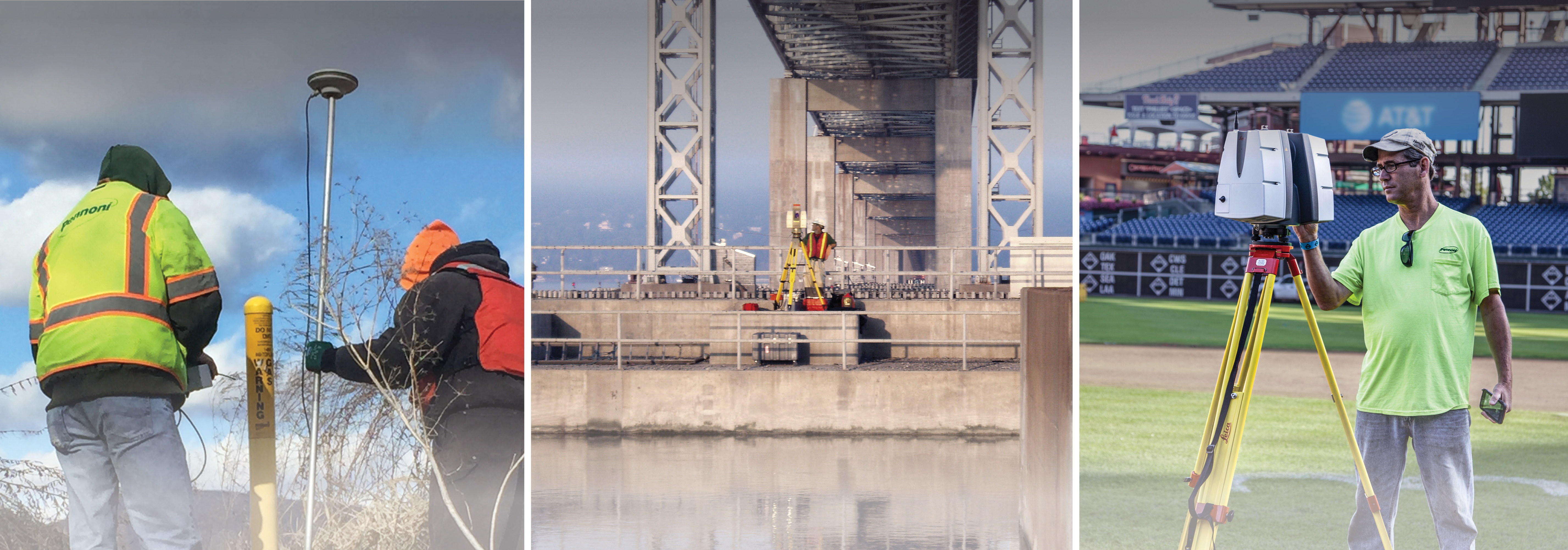
This year’s Surveyors Week runs from March 17-23. The education of the public, both adult and youth, is the number one goal of National Surveyors Week. We also want to take this opportunity to celebrate the hard work our surveyors do every day. To kick-off the celebration, we asked a few of our surveyors the following questions:
- How long have you been with Pennoni/a surveyor?
- What is your favorite thing about being a surveyor?
- What is your favorite project (Pennoni or otherwise) and why?
- Why did you want to be a surveyor?
- What is one thing you’d tell someone who wants to be a surveyor?
- How do you feel surveyors are making a difference in the world around us?
—
JW Haupt, PLS, Associate Vice President for Survey Services/Division Manager of the Newark Survey division (Newark, DE)
My father was a licensed land surveyor, so because of odd jobs he would get I have been surveying since I was 11 years old (1969). As a paid, fulltime employee I have been surveying since May 1977 when my father opened his own business and I became Employee number two. I worked for my father from 1977 until Pennoni purchased his firm in November 1991, so other than a name change, I have been working for the same company since 1977, with Pennoni on the paycheck since 1991. My favorite thing about being a surveyor was working outside, but in 1985 I was moved into the office to organize and supervise the survey projects. Now my favorite thing is the history that is entwined within surveying. Old deeds and plans of properties, the relationship of properties to each other, how the pieces of the “jigsaw puzzle” of properties fit together, when they don’t always fit perfectly, and educating co-workers and clients on the subtleties of surveying. My favorite project is the DuPont National Property Mapping program. In Newark, DE we map all the real estate holdings of DuPont, nationwide. At one point in time, DuPont had about 150 sites within the United States that they owned, from corporate business holdings of a few acres, to industrial facilities of a few thousand acres. We mapped all the land purchases and sales, as well as all other real estate matters such as easements, leases, dedication, donations, etc. Since my father was a professional land surveyor and hired me “until you find another job”, I didn’t have much of a choice in becoming a surveyor. While working outside it was good physical work and has become just as challenging in the office managing all aspects of surveying on multiple projects performed by the Newark Survey Discipline. I would tell someone that it’s mentally rewarding and you must be willing to bear the extreme weather conditions because we work on the cold, blustery windy days of winter and the hazy, hot, and humid days of summer, and all in between to complete the survey so projects can be designed or constructed. Surveyors are typically the first in on a project, involved in the middle of a project, and the last to walk off a project. We survey the land so the designer has an idea of the shape of the land and the location of features, including the property lines so that have a basis for their design. Surveyors then provide stakeout of the proposed features so the contractor knows where and how to install those features such as the utilities, building, paving, etc. And lastly, when all improvements are complete, the lender (that will be providing the funds for the purchase) requires a survey to document that the improvements do exist that they were constructed in the correct location.
 Wayne Sweikert, PLS, Senior Surveyor (Winter Haven, FL)
I started with Pennoni in 1986, left to work for Joe Viscuso in 1992, and returned to Pennoni in 2003. I’ve worked for Pennoni for a total of 22 years. I became licensed as a surveyor in 2007 and have been licensed for 12 years to date. Surveyors are first in and last out on every project. Performing site engineering designs are so much more efficient when you get the opportunity to survey the land prior to design and performing construction stakeout and/or final record (as-built) survey brings the process full circle. I have been out of the field for some time, but still endeavor to physically see every prospective project when possible. The survey and drawing preparation of the Commodore Barry Bridge was probably my favorite survey project. Surveying the land on both sides of and across a mile-wide river in two separate states is challenging to say the least. Planning out the daily field work to capture the appropriate information to produce a boundary and topographic, and utility survey along a 3.5-mile corridor that took three sets of 30 drawings each to convey the required information was challenging and yet fulfilling. I became interested in surveying as an engineering design technician because I wanted a clearer picture of what the true field conditions were on various projects. Plus, I love to be outside! If you like working outside and playing detective to determine where the original surveyor intended his line to be, or establishing land surfaces for site design work, this is the job for you! Of course, GPS and RTK have made the work a lot more streamlined and a big plus is the recent advancements in the field that are now making “survey” by drone photography closer to reality and may soon be the method most used to determine topography. When someone want to build anything or just determine where their property lies, who you gonna call? Surveyors!
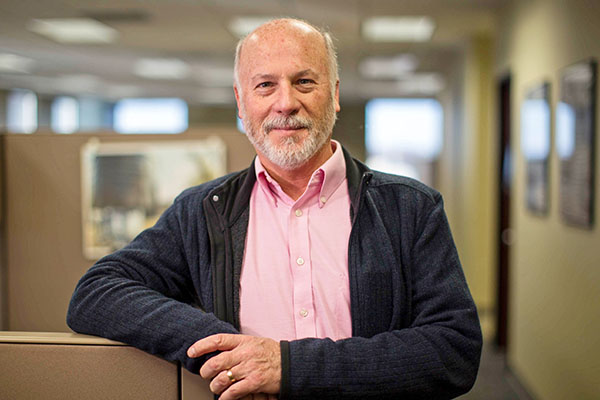
Larry Leso, PLS, PE, Survey Division Manager (Philadelphia, PA)
In November, I’ll celebrate 20 years with Pennoni. I’ve been surveying and working as a Civil Engineer since 1998. We, as surveyors, have a part in every phase of development of a project. We complete the initial survey which allows engineers to design the site. We stake and layout the proposed improvements so the contractors can build the site. Lastly, we complete a record survey to confirm that the site was constructed per the design plans. My favorite project was working on the first Comcast Tower in Philadelphia, PA. I worked on both the Civil Engineering aspects and Survey side of it. While Surveying, we spent months underground locating the structural system of the existing train station. We entered spaces that hadn’t been occupied in more than 40 years, it was like stepping back in time. The idea that you can be in the middle of nowhere and with some simple surveying instruments, the sun/stars and math, that you can determine where you are was always an amazing concept to me. Being a Surveyor can’t be defined by one or two items. At its core, surveying is measuring the earth, but surveyors are also historians that look into past ownership, how properties were formed; surveyors are designers that take plans and determine the best way to lay them out. Surveyors can be a client’s biggest asset.
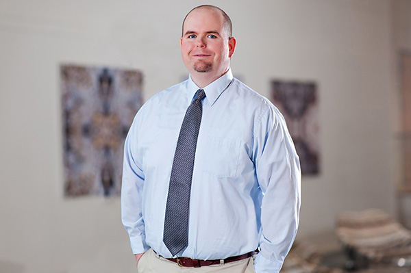 Timothy Griffith, PLS, Staff Surveyor (Leesburg, VA)
I have been with Pennoni since April of 2016, so almost 3 years. I have been a surveyor since May of 2005, so almost 14 years. I was drawn to surveying because I loved the outdoors and being outside. I spent my first 11 years in the business working on and running survey crews in the field. I now work in the office but enjoy the variety of projects and knowing that there’s always something new to learn. The best project I’ve ever worked on, unfortunately not with Pennoni, was a 36-mile long power transmission line rebuild in the mountains of western Virginia. The scenery was beautiful, the terrain was challenging, and the project required precision work that left me with a great sense of accomplishment. I was a GIS/Geography major in college but had an opportunity to work in surveying for a summer internship. I was offered a full-time job with that company after graduating and took off from there. The job allowed me to work outdoors and to work with plans and maps, so it was right up my alley. What I would tell someone wanting to be a surveyor is to learn from every opportunity presented you and always check your work twice. In an engineering company like Pennoni, surveyors are involved in all aspects of building the future. We provide maps for design, provide layout for construction, provide as-builts for compliance, and provide support for everything in between during the life of a project. We are also experts in boundary law and are needed in that respect for nearly every engineering project. Surveyors take a design from a computer screen and show someone where to put it on the surface of the earth.
David Archibald, PLS, ENV SP, Senior Surveyor (State College, PA)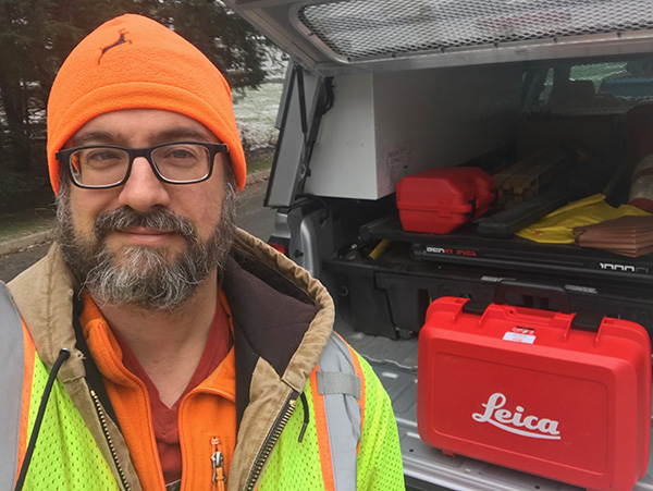
I started surveying more than 20 years ago, and I’ve been with Pennoni a cumulative 12 years. My favorite part about being a surveyor is the opportunity to be outside and interact with people on a regular basis, but also have time in the office doing technical work is a balance I am really grateful for. My favorite project was maybe ten years ago, when I was surveying a bridge over the upper reaches of the Allegheny River in northern PA. We brought along a small unmanned vessel with an echosounder to measure depths for river cross sections, but the echosounder failed early on and we were unable to use it. So, with a spotter on the shore and another surveyor running the total station, I swam to the required locations to collect cross section data with a 25-foot fiberglass rod acting as a prism pole. The water was…invigorating, so I collected data for a few minutes and warmed up in the truck as needed. I remember swimming against the current in a gorgeous setting, getting the rod as plumb as possible at full extension to get the shot, and thinking, “Whooo! I’m getting paid for this!” I wanted to become a surveyor to make a career out of combining my love for the outdoors with my knack for math. This is a rapidly changing profession – surveyors are experts in property boundaries, but the technologies advancing mapping and modeling our built and natural environment are incredibly exciting – Drones! Laser scanning! Combining a deep understanding for the legal principles of boundary law with an ability to think in three dimensions and understand how to make the physical become digital can lead to an exciting career. There are many ways surveyors are making a difference in the world. We lay a solid foundation for engineering projects that are helping make the world safer, more accessible and more convenient – a good project begins with a good base map. We act as mediators when there may be a misunderstanding or dispute over property rights. We volunteer our time and expertise – a friend created a donation drive to get the metal detectors we use to search for boundary evidence sent to countries ravaged by unexploded land mines, to save lives. I occasionally volunteer as a crisis mapper – during some emergencies, I and other volunteers with the Standby Task Force are digitally deployed to help build useful base maps to assist the first responders on the ground with up to date knowledge of the crisis situation. Another step I’ve taken is becoming a relatively rare surveyor with ENV SP certification. If I can instill the ideas of sustainability and resiliency during step one of a project, I feel it has a better chance of succeeding as a long-term benefit to society.