Jason Haynes, LSIT, is an Associate Surveyor at Pennoni and also a licensed drone pilot. He has 19 years of experience providing surveying services to private development and governmental clients. We asked him to share how technology has evolved and changed the face of surveying.
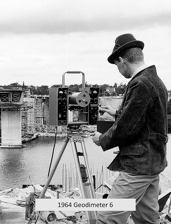
The earliest evidence of land surveying dates back to the Egyptians in 2700 BC, during the building of the Great Pyramids at Giza. They would use basic geometry to redraw property boundary lines when the Nile river would overflow. The Romans used the same techniques to continue the practice of surveying properties and construction. The first evidence of using tools and equipment specifically made for land surveying comes from Roman carvings. We have come a long way since then. The modern surveyor has tools at their disposal that would seem like a fantasy to surveyors of the past, even to those from just a few decades ago. In the mid-1900s, a new device and method of measuring distance was introduced, the Electronic Distance Meter (EDM).
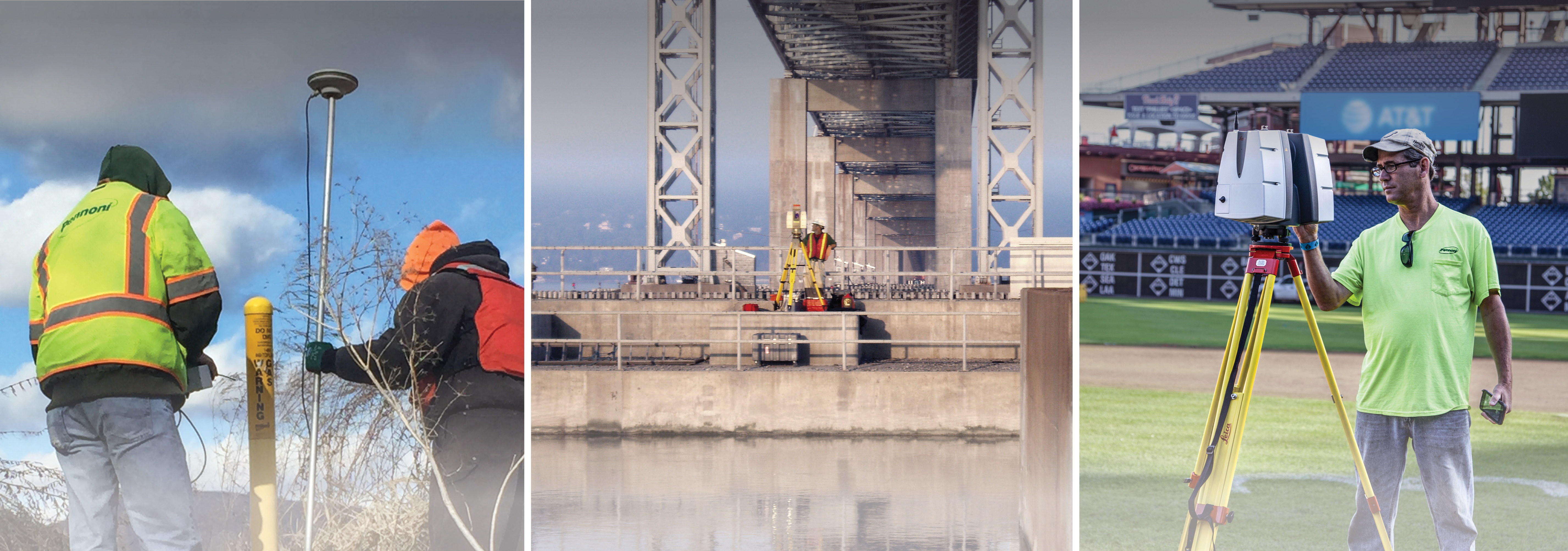
Today’s land surveyors still use equipment and instruments based on the same principles established with the EDM. We call the modern EDM a “Total Station.” A total station can perform all the same tasks as the original EDM, but with the addition of computers to perform the calculations and store data. Total stations are much faster, more robust, and can perform tasks that the original EDM operators could only dream about. The latest total stations are robotic and don’t require an operator. They can turn and follow the mirror without any human interaction, freeing up the operator to perform other necessary tasks.
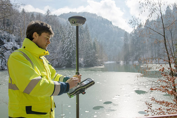
In addition to the advancements of total stations, Global Positioning Systems (GPS) have become commonplace. Everyone with a cellphone in their pocket has GPS, but surveyors use this technology with greater accuracy and efficiency. A cellphone GPS can tell where you are in the planet within about feet, but a surveyor’s GPS can tell you where you are within half an inch or less!
Modern surveyors also have High Definition Laser Scanning (HDLS), sometimes called scanning or referred to as 3D laser scanner. While a total station, robotic or otherwise, requires a mirror (or reflector) for the light to reflect off, a scanner does not. A 3D laser scanner emits light and robotically turns at certain predefined angle increments to locate objects. A total station, when operated by the most advanced and experienced surveyor, can locate around one thousand points in a given eight-hour work day. In comparison, the latest scanners can locate up to four million points per second! The scanner creates a three-dimensional electronic copy of the complete world around itself out of billions of 3D measurable points. The best way to describe the result is to compare it to a television screen. A TV screen is comprised of thousands of tiny squares of varying colors, called pixels. When you are up close, you just see the pixels, but when you stand far enough away, a picture is revealed out of the mosaic of pixels. The same is true of the 3D scanner world. When up close, all you see is millions of tiny dots floating around, but when you zoom back far enough, the full 3D world and environment is revealed. This is even more of an immersive experience when you apply the digital photos to those points, also collected by the scanner, creating a color landscape of everything the scanner sees. It is truly like playing a video game!

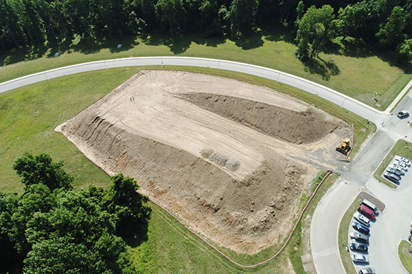
Unmanned Aerial System (UAS), commonly called “drones”, are expanding what tasks a land surveyor can perform including infrastructure inspections, building façade inspections, safety planning, and more. Using the light and inexpensive platform a surveyor can now quickly and accurately locate the features and improvements on the ground, all from a safe distance.
3D scanning technology has opened a whole new world of possibilities for surveyors. Utilizing the scanner, a land surveyor can digitally recreate crime scenes, vehicular accidents, or assist in arson investigations. With a 3D measurable world of the full incident, the surveyor can apply physics and other calculations to digitally recreate the incident, and replay the incident from a witness, victim, or any other perspective, as a part of court proceedings.
 With all the technological advancements, the term “land surveyor” has truly become a moving target to define. While in ancient times a land surveyor’s job was to measure and layout property and construction, a modern surveyor does so much more. Despite the technology, the applications, and the advancements, the basics of how a land surveyor performs their tasks are all based on the principles laid out by the ancient forefathers. We owe a lot to these ancient masterminds. If only we could go back and show them what all their hard work had laid the ground work for today. It is exciting to think and dream of what the land surveyor will be able to do in the future!
For more on land surveying and technological advancements, check out Jason’s article in The Zweig Letter, which explores UAS and incident reconstruction in more detail.