Pennoni’s Employee Spotlight series gives you a behind-the-scenes look at the talented individuals who make our company thrive. Each month, we highlight a team member’s journey, passion for engineering and innovation, and unique impact at Pennoni.
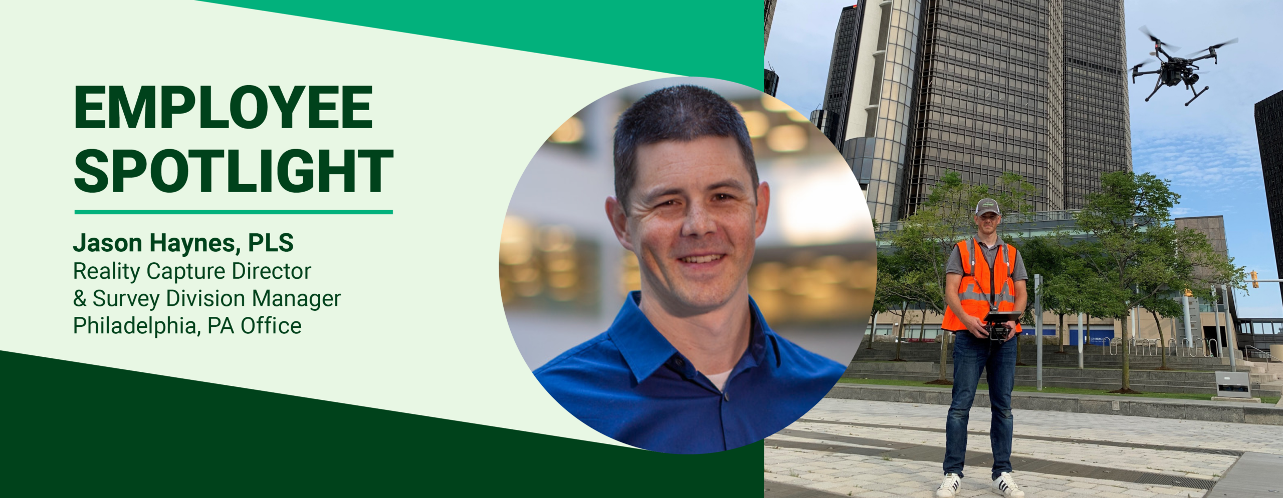
This month we’re featuring Jason Haynes, PLS, who is an Associate Vice President, Reality Capture Director, and Survey Division Manager at Pennoni. Over the course of nearly 30 years in the surveying profession, including 21 years with Pennoni, he has worked on everything from traditional boundary and topographic surveys to hydrographic surveying, laser scanning, UAV mapping, and emerging Reality Capture technologies. A licensed Professional Land Surveyor and FAA Remote Pilot, Jason is passionate about mentoring the next generation of survey professionals, advancing new technologies, and finding innovative ways to deliver better solutions for clients. When he’s not talking about surveying, drones, or point clouds, he enjoys spending time with family and embracing all the things that make Philadelphia uniquely Philadelphia, including rooting for the Eagles and hoping the Cowboys lose.
You’ve spent 21 years with Pennoni and have nearly three decades of experience in surveying. What originally drew you to this field?
To be honest, I kind of accidentally stumbled into land surveying! Growing up on the west coast, my uncle in San Diego owned an engineering company with a small surveying department. One small shop mom-n-pop kind of deal. We mostly did construction layout and surveying in service of the engineering group. I worked for him all through high school during the summers as the third man on the crew. Kind of a gopher role (go for this tool, go for that paint, etc.). I loved it. When I graduated high school, he recommended me to a friend of his that had a larger surveying department as they had a full-time position available while I went to school. That was the summer of 1999. Been doing it ever since! I never intended it to be a career but fell in love with the industry. The puzzle and intersection of quality data analysis, legal implications, and real-world impact make for an ever-changing field that never disappoints and is always changing. When you include fun expensive toys like 3D laser scanners, drones, and AI, it’s a winning combination!
As Survey Division Manager, what’s your favorite part of leading a team and working with clients across so many different types of projects?
Like I said above, the changing status of surveying industry with various growing technologies and the inclusion of differing factors like data analysis and legal review, create a unique landscape. The industry, on its face, seems to be unmoving and static. However, when you get into all the different aspects that are included, the surveying industry is an evolving career path that can take on many different dimensions. I enjoy being able to pass along knowledge to my team and watch them grow into great surveyors in their own right. There are so many different aspects to the industry that no one person can master them all. It takes a team, like we have here. We have team members that are becoming experts in High-Definition Laser Scanning (HDLS), Building Information Modeling (BIM), drones, property boundary resolution, and the list goes on and on. I would say my favorite part is being a part of their growth path, and watching the team expand in their capabilities and application. As a team, our utilization to our various types of clients, projects, and deliverables, has grown by leaps and bounds.
You’ve worked on everything from drone surveys to hydrographic and laser scanning projects. Which surveying technology has changed the industry the most during your career?
That’s a hard question to answer. There has been an explosion of technological upgrades in my career. In terms of being able to gather an immense amount of highly accurate information to the minute detail, hands down, it has to be 3Dlaser scanning. When I was a part of the team that brought our first laser scanner to Pennoni in 2004 they were able to measure 50,000 points per second, and one setup took over an hour. That was mind blowing at the time, because a good traditional surveyor with a robotic total station and rod can locate somewhere in the range of 800 points in an 8-hour day. Fast forward, now laser scanners are measured in multiple millions of points a second, and a full 360-degree setup takes around two minutes with full photography. Then you take that scanner and make it mobile, and you walk around with it?! Mind blowing is not the word. When I first brought drones to Pennoni in 2006 I was the only pilot, back then drone photogrammetry was just getting off the ground (pun intended). We could barely map around two acres in an 8-hour day. Now, with photogrammetry and aerial laser scanner sensors, we can accurately map about 150 acres of dense woods and suburban areas in less than 8 hours. The aerial laser scanners can penetrate dense vegetation and get true ground elevation through thick foliage for fast, accurate, and safe data collection.
These technologies, when combined into the Reality Capture (RC) group, have definitively changed the face of the land surveying industry. Having this immense amount of accurate and rich information has opened the doors for more accurate models, BIM, and better design across all design fields.
The future is still very much in flux. With the combination of these Reality Capture technologies, with various AI systems like visual object recognition, Gaussian Splats, and automated drafting platforms, we will see another surge of similar leaps in the next ten years or so.
You’re also a licensed FAA drone pilot. What’s the coolest or most interesting thing you’ve captured or surveyed with a drone?
For me, the most interesting projects are those that serve a greater purpose than a standard design project, like a topo or road survey. In the RC group, there are many pilots throughout the firm. The most rewarding and interesting projects we have collectively worked on, and that I have been involved with, are those that directly help people, clients, or the public. The best example of this must be when we had three of our pilots (Austin Spencer and Kevin Wilson from Newark Delaware, and Mike Alberici from Philadelphia) go to Florida in September and October of 2024. We had those three pilots, each with their own drone systems, inspecting infrastructure, documenting damage, assessing flooded streets, and performing minor search in the aftermath of two major hurricanes that hit Florida within a few weeks of each other. We worked directly for Pinellas County and are being directed by the county representatives for areas of concern. The photos, videos, and mapping performed during the three weeks the pilots were on site were compiled and organized into a GIS system that was delivered to the client for their use. The work performed by this team was instrumental in the safe return of the public to use domestic water systems, bridge inspections for safety, traffic diversion due to flooding, and rescue teams to those areas that required direct intervention. I was able to manage the project and orchestrate client communication and deliverables, but it was the three pilots that deserve the credit and recognition.
Philadelphia is the birthplace of America and home to many Pennoni projects. What’s your favorite part about working in the city?
I grew up in San Diego for the most part. San Diego is a transplant city. With five major universities, and three major military bases all in San Diego area, the overwhelming majority of the population are transplants from somewhere else. It makes for a neighborhood that is very diverse but doesn’t have a sense of ownership or community. There is a high turnover rate of the population as folks’ graduate college, are deployed, or leave the military.
Working in Philadelphia now is amazing because we get the great diversity of people, demographics, and people groups, but there is more of a sense of community and personal ownership of the city and what goes on. Every project, every interaction, everywhere you look. The people of the city make the city what it is. The festivals, the sports, even laughing at the frustration and cursing people as a driverless car can’t figure out how to make a left-hand turn and is blocking the street. Whatever it is, we are all in this together. We all want the Eagles to destroy the Cowboys. We all want the Yankees to lose. We all want the street food festival in FDR Park.
The Penn’s Landing I-95 Cap project is a perfect example of community involvement and community impact project. When you look at the design of that project and all the work that many various Pennoni groups are doing. Each aspect of the design has the community and the people of the city in mind. It’s the ownership of the city, and the impact we can all have on it.
It’s the people that make the city.