Longevity Meets Flexibility
With nearly 60 years of expertise, Pennoni delivers innovative solutions by approaching engineering challenges from a wider angle than most and fostering collaboration to address current challenges and future demands.

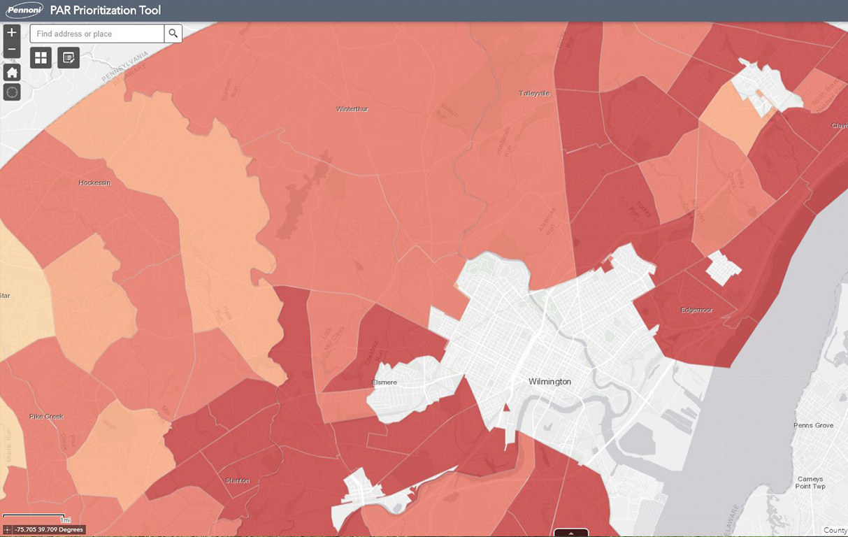
The Pedestrian Access Routes (PAR) Program facilitates the creation of new accessible pedestrian paths or converts existing non-compliant pedestrian paths to acceptable standards. To increase their efficiency in identifying non-compliant infrastructure, DelDOT requested a system to automate their methodologies. Pennoni’s Technology Solutions team developed an application, the PAR Prioritization Tool, to be used in conjunction with our custom GIS based field data collection application. Prioritized curb ramps and other supplemental datasets can be viewed with our tailored prioritization score to see which curb features should be prioritized first for full ADA compliance.
This application has up-to-date information and can store reports, status updates, and documents (design, approvals, etc.) for each curb feature to monitor and track progress.
Our Technology Solutions experts developed a formula to determine which areas should be prioritized in the project pipeline process by analyzing demographics, transit, ADA and walk-ability scores. Once calculated, this prioritization score was used to refine features for a prioritized rehabilitation strategy and helped narrow down thousands of curb ramps to several, identified by work zones and county delineations.
As an Environmental Systems Research Institute (ESRI) Silver Partner, Pennoni leveraged ESRI’s ArcGIS Online platform. The application is currently being used for curb ramp and barrier repair tracking. DelDOT staff worked closely with Pennoni to design and implement changes at a faster rate. Data can be tracked with the application and used for reporting and display via DelDOT dashboard website.

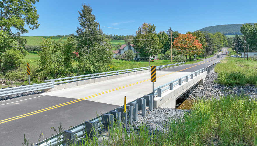
Pennoni’s SR 3006 over Gardner Creek Bridge replacement project, ECMS 8308, was chosen by PennDOT as a Digital Delivery Pilot Project. This project ...
Read More

Newark, NJ Airport – Net Zero/Complete Electrification of Building 1 & Electric Ground Support Vehicle Fleet Conversion Newark Liberty Internati...
Read More

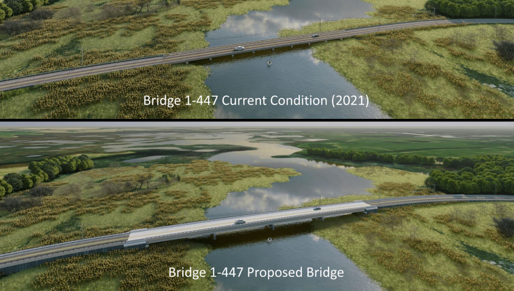
State Route 9 (SR 9) in Delaware is highly susceptible to coastal flooding due to its low elevation and proximity to the Delaware River and Bay. This ...
Read More