Longevity Meets Flexibility
With nearly 60 years of expertise, Pennoni delivers innovative solutions by approaching engineering challenges from a wider angle than most and fostering collaboration to address current challenges and future demands.
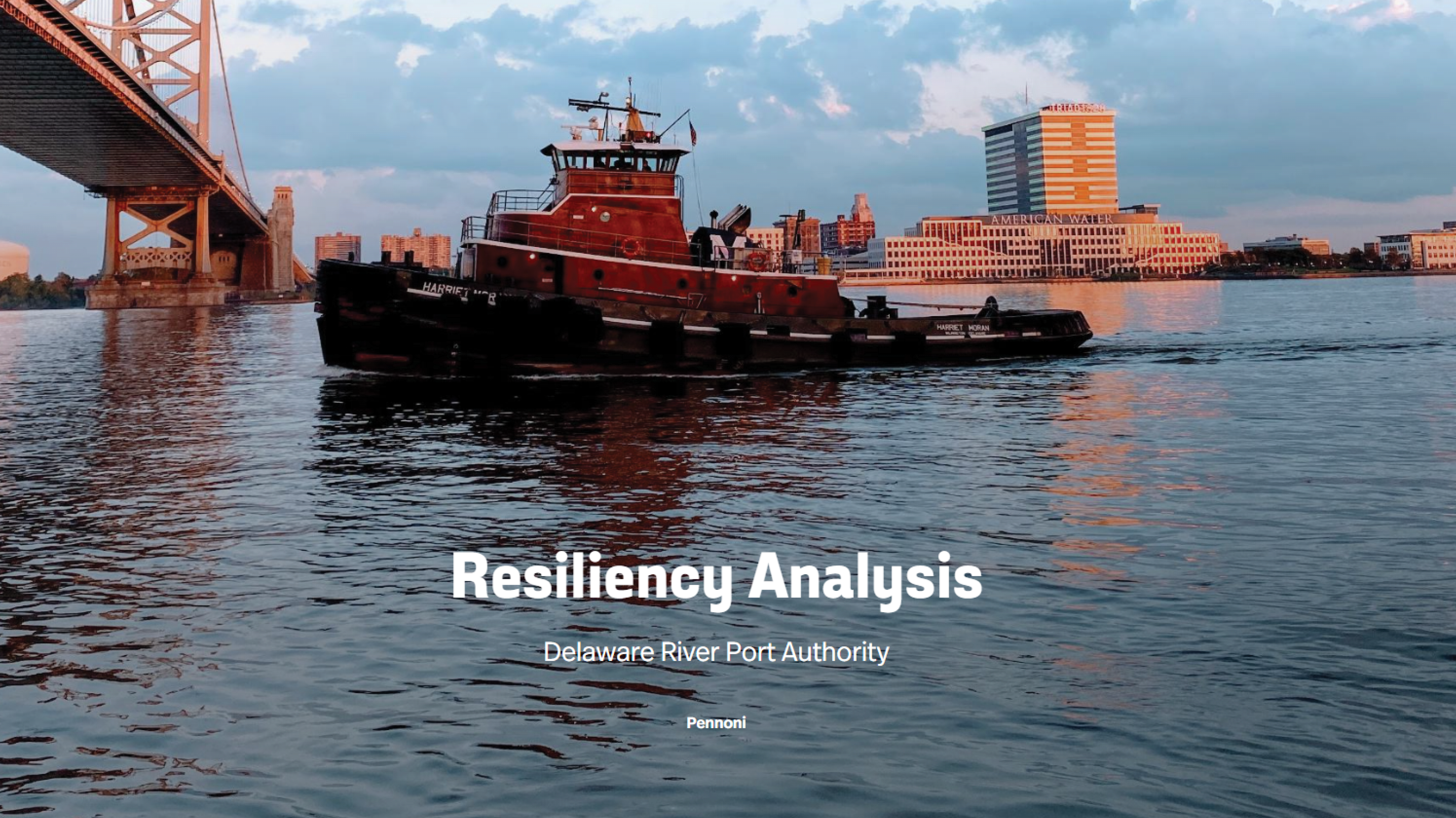
Pennoni’s GIS & Asset Management team used a variety of spatial analytics tools to help DRPA engineering department know what infrastructure is vulnerable to specific events such as sea level rise, and more frequent and severe rain/flood events, understand financial impact of such events and costs associated with hardening these assets to more resilient in the future. Innovate project delivery tools such as ESRI ArcGIS StoryMaps were used to outline the project, analysis steps and lifecycle costs in a concise easy to understand manner which will be used as an internal education and informational tool to take action on the findings.
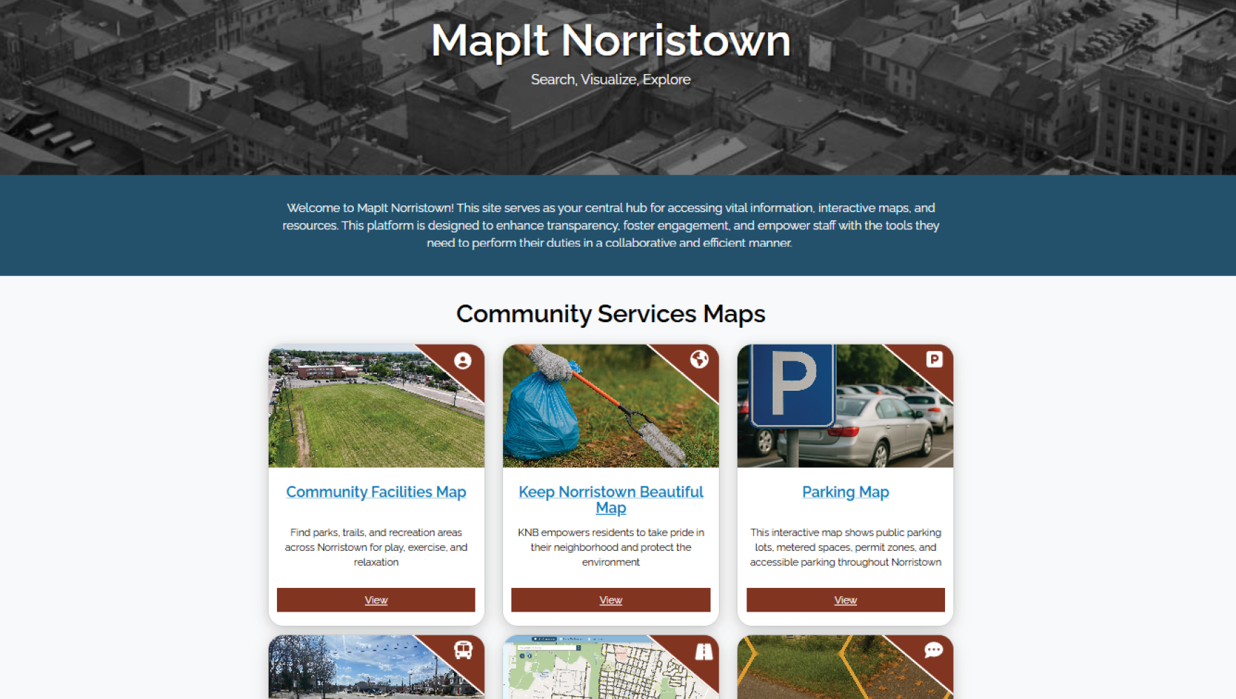
Pennoni’s GIS & Asset Management team partnered with the Municipality of Norristown to create MapIt Norristown, a suite of public-facing GIS map...
Read More
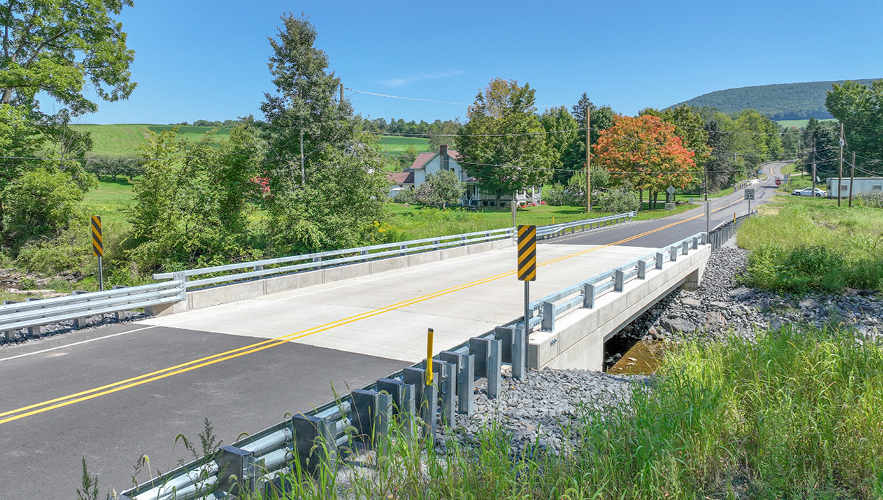
Pennoni’s SR 3006 over Gardner Creek Bridge replacement project, ECMS 8308, was chosen by PennDOT as a Digital Delivery Pilot Project. This project ...
Read More
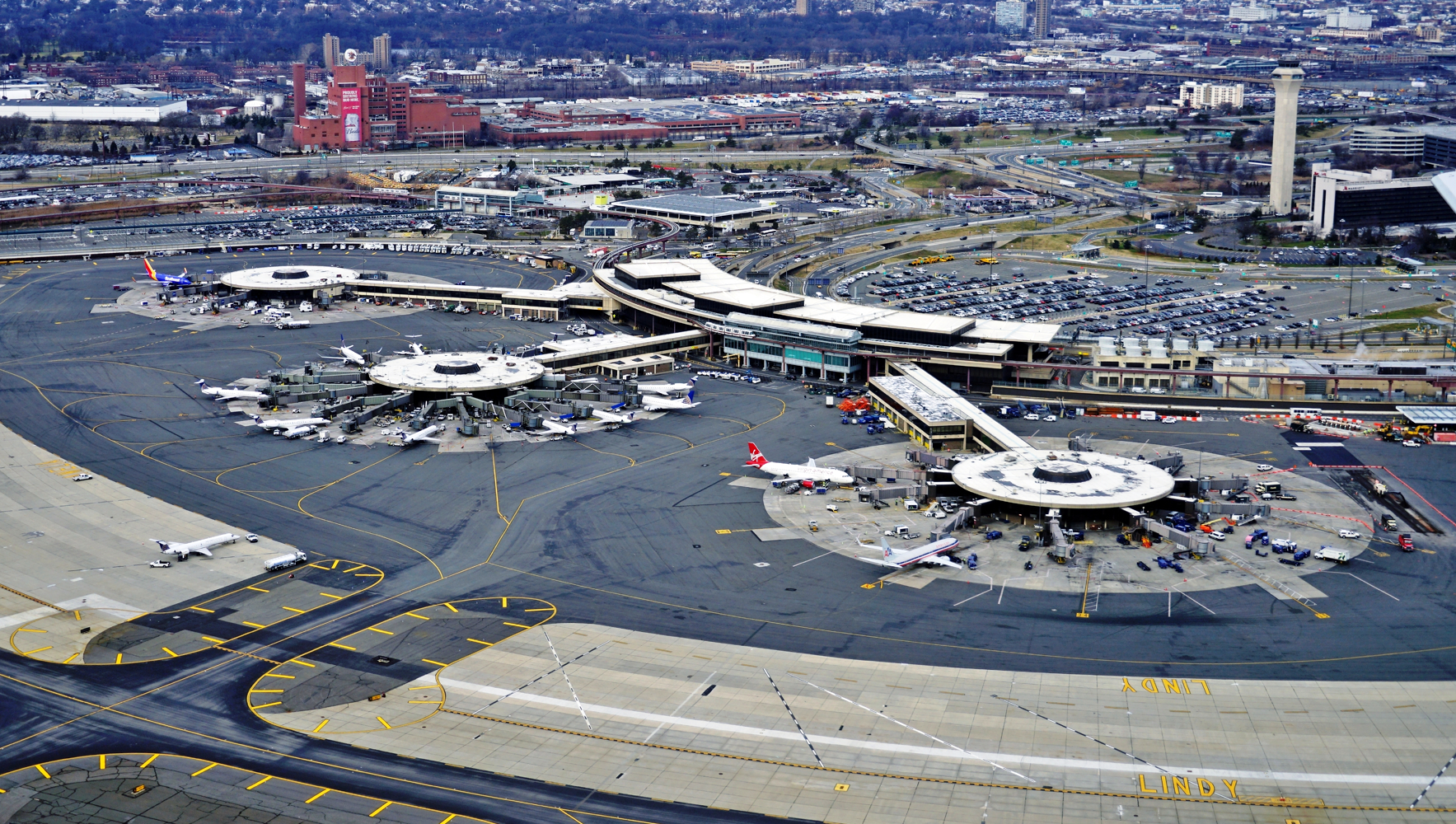
Newark, NJ Airport – Net Zero/Complete Electrification of Building 1 & Electric Ground Support Vehicle Fleet Conversion Newark Liberty Internati...
Read More
With nearly 60 years of expertise, Pennoni delivers innovative solutions by approaching engineering challenges from a wider angle than most and fostering collaboration to address current challenges and future demands.

With 40+ offices, we live, visit, and work in the communities we serve, so we build partnerships to bring the best solutions for the community; not just the best solution.
We continually employ innovation to accomplish more for our clients, using the latest technologies to complement our traditional engineering services.

At Pennoni, we start every project by asking "How will this benefit the community?" Because we are a 100% employee-owned firm, our 1,400+ colleagues put our passion, talent, and value into every project, every day.